Geonics EM38
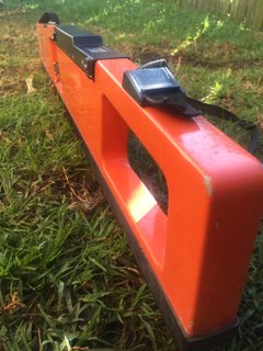
Black Earth has developed the use of EM38’s on the Darling Downs for moisture monitoring and irrigation scheduling. This tool allows for the measurement of plant available moisture within the rootzone of a crop at any location in a field or farm.
Black Earth has developed a large number of soils calibrations to the EM38 across the Darling Downs. This allows for moisture monitoring to occur on a wide variety of soils with varying PAWC and characteristics.
The Geonics EM38 can quickly identify different soil types can variation across a field.

NDVI and SVI Imagery
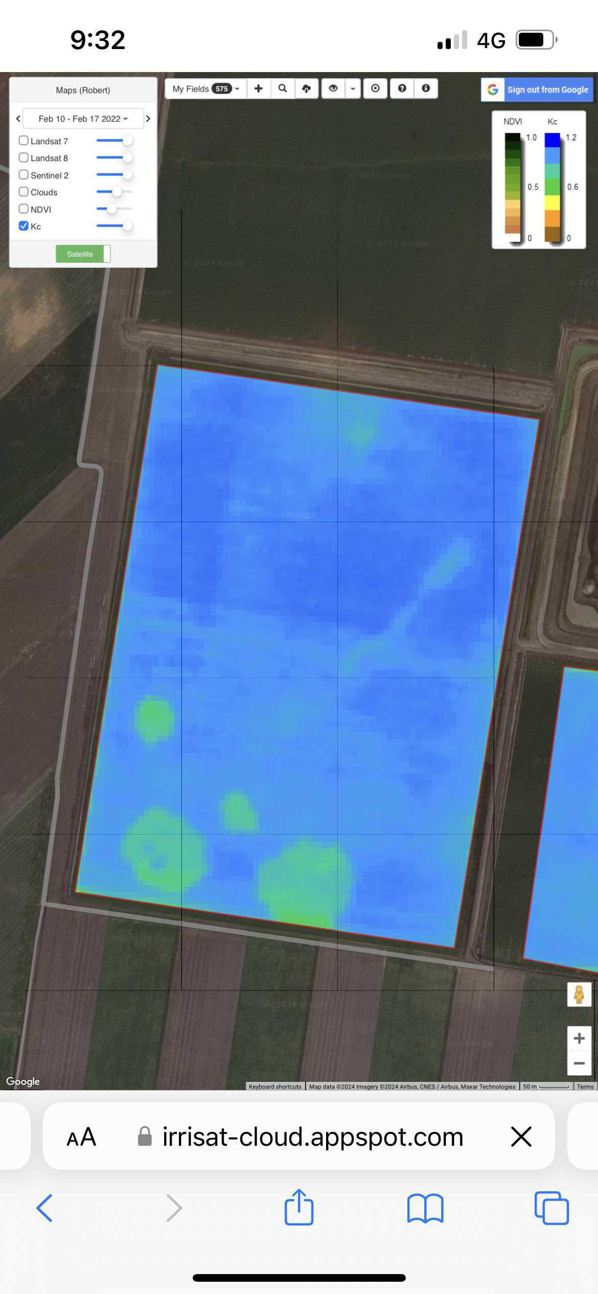
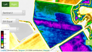
We utilise NDVI and SVI satellite imagery during the season to observe infield crop variation, daily moisture use and crop development. If cloud conditions permit, snapshots of this imagery are provided via text during pivotal cotton development periods.
This imagery is further used to identify scouting locations that best reflect what is happening in the field. At defoliation, these images assist in finding the areas with the least maturity which help determine optimal defoliation timing.
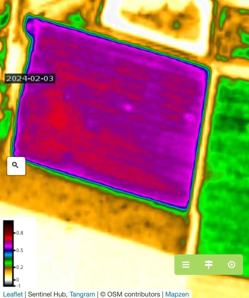
This SVI image shows a "striping" pattern running left to right. In this case, the pattern is related to poor nitrogen distribution using Urea spreaders due to poor calibration, use during high winds and other factors. This can be remedied in crop during the season if identified early enough and can often be seen on the satellite imagery before it becomes obvious in the field.
This NDVI image displays some unusual circular patterns toward the bottom of the image. These circles have shown up in the satellite imagery for this field for the last five years after a flooding event. The field was levelled after the flooding but the pattern has persisted. Leaf and petiole sampling have shown some deficiencies in soil nutrition and these areas will be targeted with higher concentrations of manure and/or compost.